
Properties Crystal Falls, Michigan
TBD Cable Lake Rd
Crystal Falls, MI 49920
$137,000
300 sqft · 80 acres
43 photos · tap any to browse
The property
An off-grid 300-square-foot camp on 80 acres along Reservoir Creek in Hematite Township, filed under Crystal Falls, relisted at $137,000 ten weeks after selling for $89,000

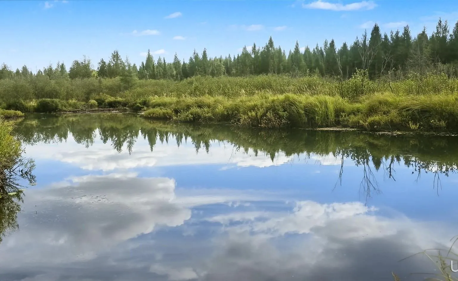
Eighty acres in Hematite Township with a 300-square-foot off-grid camp, listed at $137,000. The parcel has no assigned street address. It carries the name of a nearby road, Cable Lake Road, but Cable Lake itself is about four and a half miles away and nothing on the listing claims frontage on it. What the land does have is roughly a half mile along Reservoir Creek on its southern side, a woodstove-heated camp that sleeps up to six, and a listing history ten weeks old that is worth reading closely before anyone calls.
The land and setting
The remarks describe 80 acres of mature timber bordered by Reservoir Creek along the southern edge, with game trails through the woods and habitat for whitetail deer, black bear and upland birds. The facts panel confirms 80 acres with dimensions of 1,320 by 2,640 feet, a half-quarter section, and frontage listed as “See Remarks” rather than a measured footage. Zillow geocodes the pin to Hematite Township, which the county’s own assessing records confirm directly: both parcels tied to this listing, 003-211-001-70 and 003-211-024-01, are filed with Hematite Township in the Iron County BS&A system. The listing uses the Crystal Falls postal city and the 49920 ZIP, which is normal for rural Iron County addresses and does not mean the parcel sits in Crystal Falls Township. It does not. This is the same pattern as a Net River Road camp the county files under Amasa: the mailing address and the municipal township are two different things, and only the township governs zoning, assessing and road maintenance.
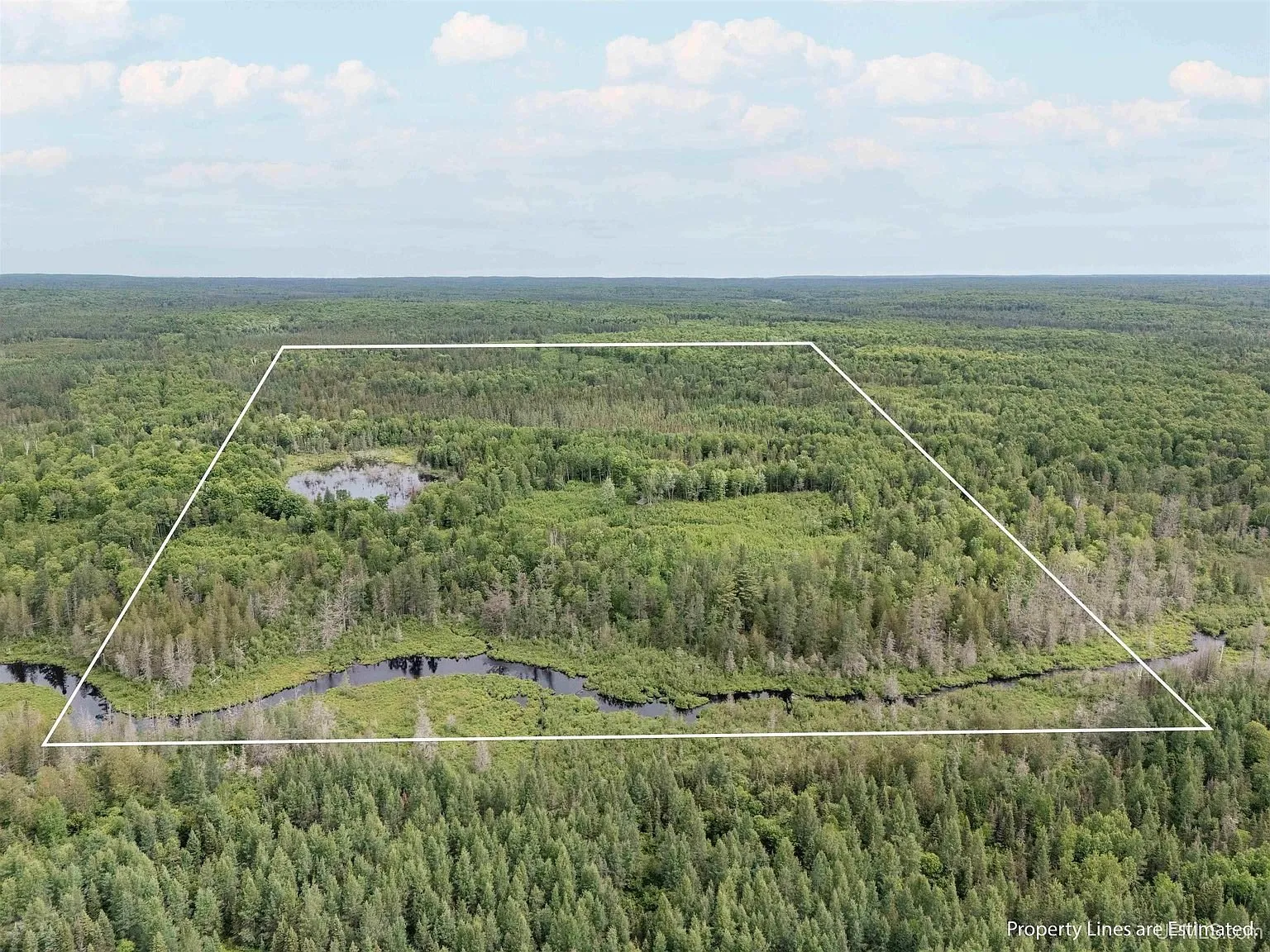
The aerial with the overlaid boundary carries its own label, “Property Lines are Estimated,” which is the agent’s own disclaimer, not ours. The overlay shows the creek running along the bottom edge of the parcel and a wetland pocket inside the north half. A buyer should get the boundary surveyed or at minimum confirmed against the recorded legal description before relying on it for a fence, a stand placement or a timber sale.
The camp
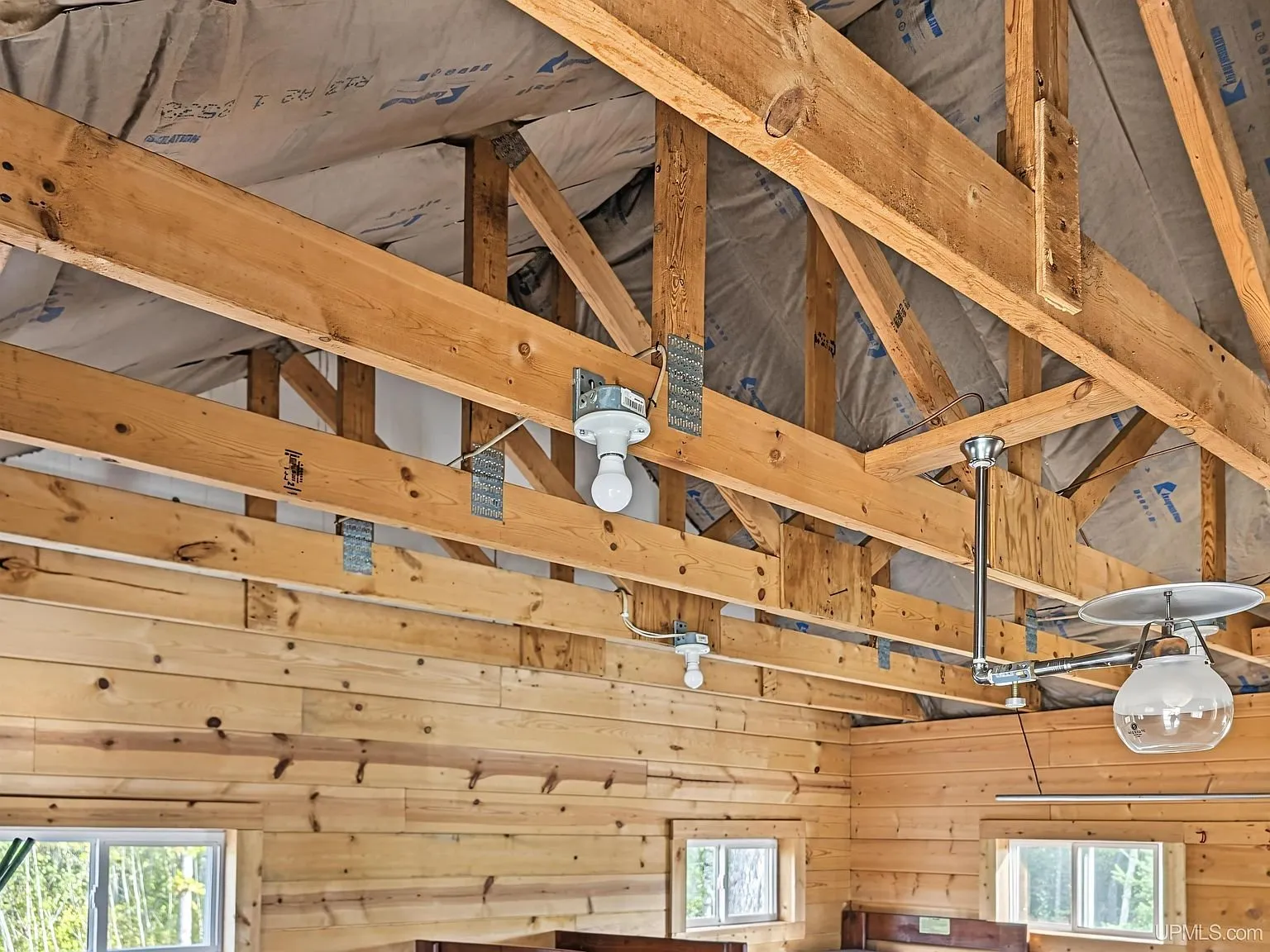
The structure is a single-room camp of 300 square feet built in 1996, one story, with a metal roof and vaulted beamed ceilings. The facts panel counts zero bedrooms and zero bathrooms, and the remarks describe it as sleeping up to six, which the photos support: bunk beds built into the wall on one side of the room and a second bed frame with storage underneath on the other. A wood-burning stove on a hearth pad is the camp’s only listed heat source, backed by gravity heat per the facts panel. There is no cooling.
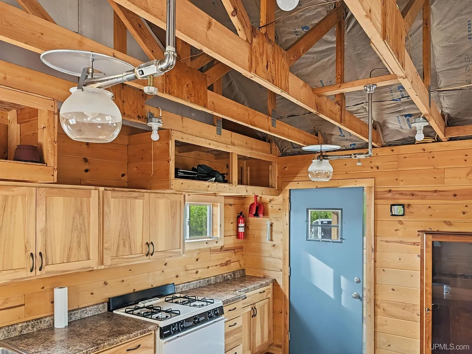
The kitchen end has a range, a refrigerator and open counter space along wood-paneled walls, with the range and refrigerator both listed as included appliances. Power comes from a generator through a breaker panel, with no utility electric service listed. Water is listed as none and sewer as none. The only sanitation on the listing is an outhouse, shown standing apart from the camp in a cleared patch of woods.
What’s on the land beyond the camp
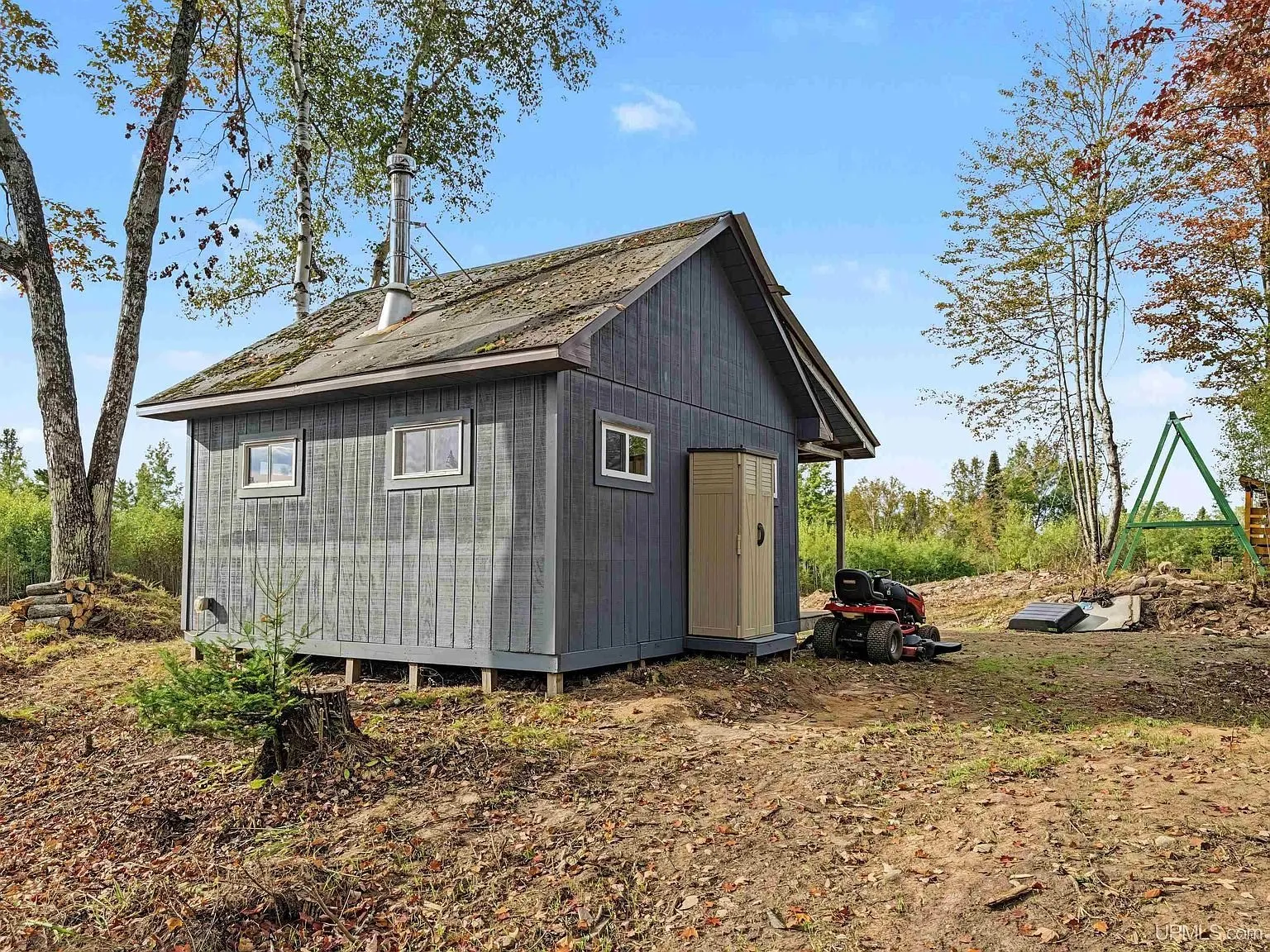
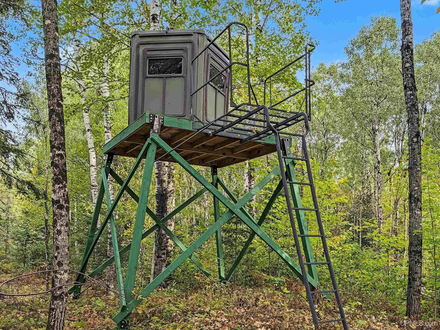
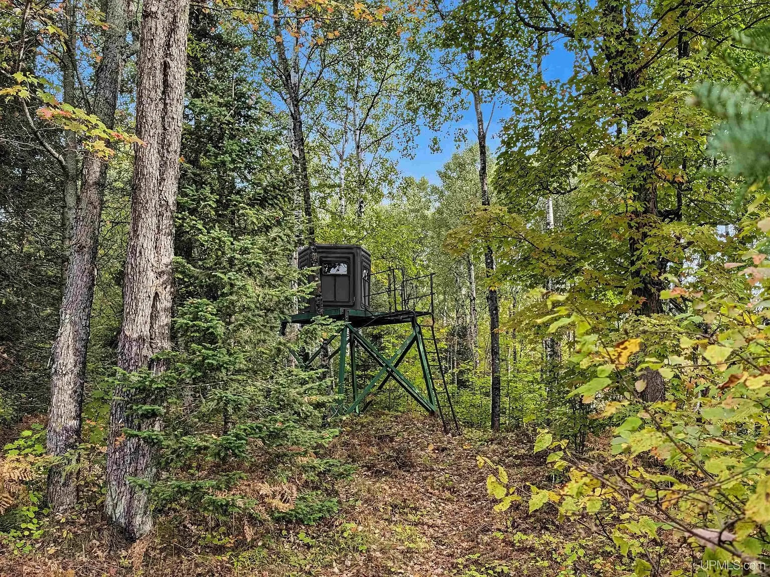
A small storage shed stands near the camp, and the photos show a solar panel mounted beside it, which the listing’s own feature highlights and facts panel do not mention anywhere. Furnishings are included per the listing. Two hunting structures appear in the photos, an elevated box blind on stilts and a ladder stand against a tree, neither one itemized under the listing’s “Additional structures” field, which names only the outhouse. A buyer relying on the facts panel alone would not know the blind, the stand or the solar panel exist.
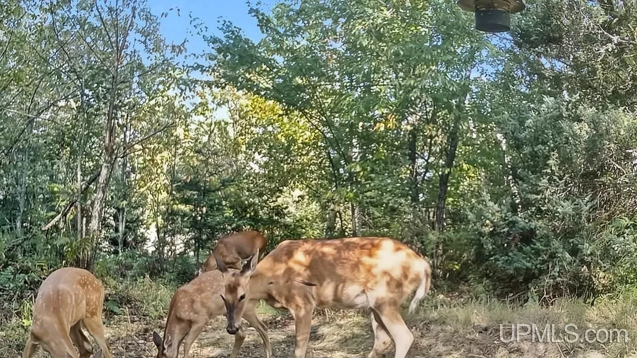
Three of the listing’s photos are night-vision game camera stills, a bear, a bull moose and feeding deer, credited to the listing service rather than taken by the listing’s regular camera. They document animal activity on the land at some unstated date, not a live view of the property, and they are worth reading as exactly that.
The facts
| Price | $137,000 |
| Acreage | 80 acres |
| Beds / baths / sqft | 0 / 0 / 300 |
| Year built | 1996 |
| Property taxes | $1,143 per the listing’s facts panel |
| HOA | None listed |
| Financing | Cash, Conventional |
| Water | None listed |
| Sewer | None listed. Outhouse on site |
| Power | Generator, circuit breaker panel. No solar system listed despite a panel visible in photos |
| Heating / cooling | Gravity heat, wood-burning stove. No cooling listed |
| Road access | Cable Lake Road. The listing does not state whether it is plowed |
| Zoning | Not listed |
| Flood zone | Not listed |
| Days on market | Relisted 9/22/2026, 10 days as of this writing |
| Listing agent | Gary Watters, 906-284-7006 |
| Brokerage | Stephens Real Estate-Iron River, 906-265-7325 |
| Agent email | Not listed |
| MLS | MiRealSource #50222546 |
What to know before you call
The price history is the first thing to understand. This property was listed July 22, 2026 at $99,900, went contingent, then sold July 29, 2026 for $89,000, ten percent under asking. It came back September 22, 2026, 54 days later, at $137,000, a 54 percent jump over the sale price in two months. The county’s assessing record shows both parcels now owned by the Frankini Family Trust, consistent with that July purchase. Nothing in the listing explains the increase, and nothing in the photos or the facts panel points to new construction. Ask the agent what changed between the sale and the relist.
The tax figure is the second thing to check, because it answers a question the listing does not ask out loud. Michigan’s Commercial Forest program taxes enrolled land at $1.35 per acre, which on 80 acres would run about $108 a year. The listing states $1,143, more than ten times that, so this parcel is not enrolled in Commercial Forest, and the state’s own Commercial Forest Parcels layer confirms it: a direct query against the subject coordinates returns no enrolled parcel. Public access by strangers for hunting and fishing, which the program requires on enrolled land, does not apply here on that basis. Large Commercial Forest tracts do sit nearby, several hundred acres of it within a mile to the north and west, owned by Lyme Great Lakes Timberlands and MWF Ned Lake LLC, which explains some of the hunting infrastructure in the area generally but is not land this listing includes. Michigan also uncaps taxable value on a sale, so the buyer’s first full tax year will price off the new sale amount rather than whatever this $1,143 figure was based on. Confirm the current taxable and assessed values with Hematite Township before writing an offer.
The Ottawa National Forest’s proclamation boundary runs within about five miles of this parcel, not adjacent to it, so an advertised sense of being surrounded by public land should be weighed against the actual distance. Whether the camp, the shed, the blind and the stand are permitted structures is not stated anywhere in the listing, and Iron County’s assessing record for the parcel was not reachable past a paywall during this research. A title company or the township assessor’s office can confirm what is and is not on the tax roll for these two parcels. Whether access off Cable Lake Road is deeded or by easement, and whether the road itself is maintained or plowed in winter, is also not stated and is worth asking before relying on year-round access.
This is the fourth Crystal Falls-area property we have covered, after a log hunting camp on 80 acres on the Fence River, an off-grid camp on Net River Road that the county files under Amasa, and a 2021 off-grid cabin on 35 acres on Sheltrow Road bordered by Commercial Forest land. All four sit in Iron County, and none of them is where its municipal filing matches the listing city on the first read. Anyone comparing options can also see everything currently listed.
Gary Watters at Stephens Real Estate-Iron River is the listing agent and handles showings, at 906-284-7006 or the brokerage line at 906-265-7325. The listing does not print an email for him. More Upper Peninsula land lands in the Monday email.
$137,000 · 300 sqft · 80 acres
Listing: Stephens Real Estate-Iron River, listing agent Gary Watters. Photos are from the listing.
The email
Get properties like this by email.
Hand-picked affordable homes, land, and acreage, each one turned into video, in your inbox first.